Nature reserve
Nature in Härnösand varies from shallow bays with a rich biodiversity, to shingle fields with clear terraces showing the traces of land uplift. Along the coast, you can see the more bare rocky areas with several hundred-year-old pines, and inland you can experience denser coniferous forest areas.
.jpg)
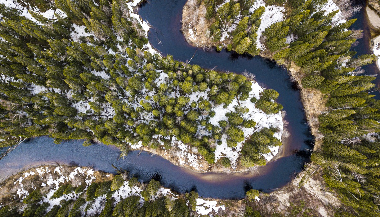
Mjällådalen. Foto: Erik Engelro, Länsstyrelsen Västernorrland
Västanåfallet
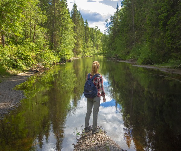
The water flows down the steep mountainside in Västanåfallet, which is one of Sweden's highest waterfalls with a drop of over 90 meters and a popular excursion destination for many reasons. Close by is the newly formed Mjällådalen nature reserve with several hiking trails along the winding river, with plenty of resting places.
.jpg)
Mjällådalen. Foto: Erik Engelro, Länsstyrelsen Västernorrland.
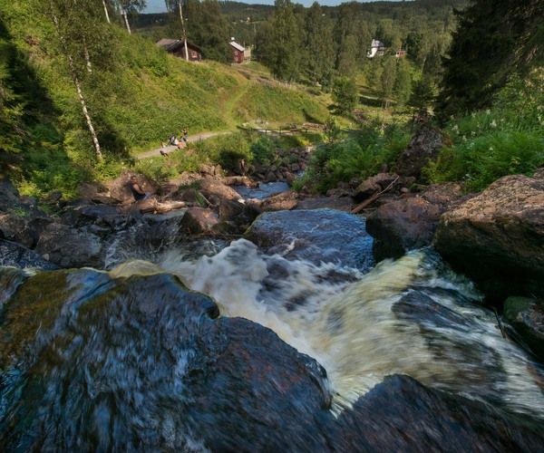
Västanåfallet.
Smitingen
Smitingen/Härnöklubb is both a nature reserve and a Natura 2000 site. The aim is to preserve the area's landforms, caves and various habitats. You can read more about the nature reserve on the county administrative board's website.
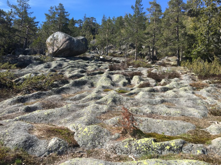
Cobblestone field
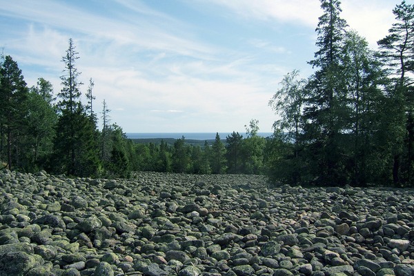
Vårdkasmalen is a beautiful sloping and terraced shingle field. It lies in a dip between the top of Vårdkasberget and Bräntberget and is the second highest shingle field on Härnön in Härnösand. To the southeast the field is open and treeless, while to the west it is covered with sparse forest.
Gådeåbergsbrännan
Southwest of Härnösand lies Gådeåberget, and in 2006 a fire broke out just a few hundred meters from the nearest residential area. The fire lasted three weeks, and since then the eight-hectare area has been protected by the municipality of Härnösand as the first municipal nature reserve. After the fire, the land looked dead, but there was plenty of life ready to recolonize the area. Among other things, a variety of birds have been attracted to the area, mainly woodpeckers but also wrens. The area has a path that runs around the area with lovely views and information signs along the way.
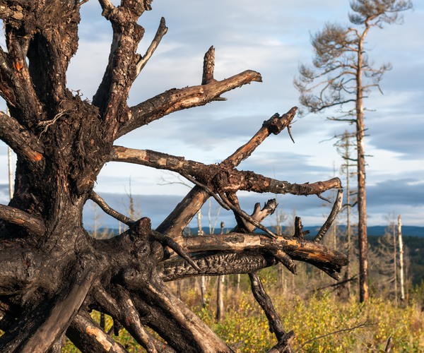
Gådeåbergsbrännan.
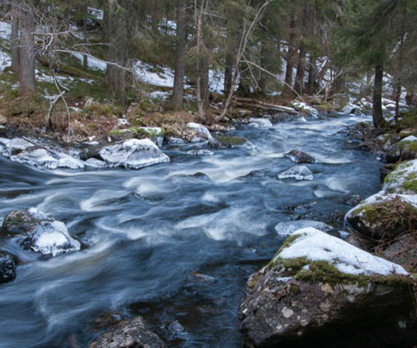
Brånsån. Foto: Länsstyrelsen Västernorrland
Brånsån
Brånsån flows from Öjesjön down to Långsjön, through two nature reserves. The stretch within the village of Älgsjö was protected as a reserve in 2006. Almost ten years later, the lower course of the river through Västerbrån's woodland was also protected. The river has a large population of pearl mussels, a natural trout population and crayfish. There are paths along the river that you can follow and a picnic area with bench tables.
Bastusjöklippen
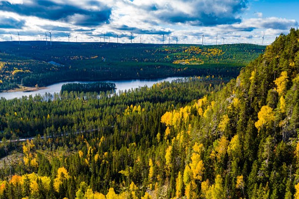
On the border with Sollefteå municipality lies Bastusjöklippen, which is a south-facing mountain, where the top is 380 meters above sea level. The top of the mountain consists of rocky forest, the rest consists mostly of spruce forest with elements of deciduous trees, a few wetlands and a small bog. The spruce forest is over 100 years old and there are many threatened coniferous forest species, including black tick, patch tick and rose tick. If you go high up on the mountain, you get a wonderful view of Hornsjömoarna.
